Respecting the Maunga

SCF9925

The Manawatu Standard has commented on DOC’s plans for the Tongariro National park this summer…(PDF)

First up, Stuff.co.nz, it’s not a two hour plod and that comment itself is disrespectful: it’s a proper climb in an environment that is nor forgiving. Mt Ngauruhoe deserves respect for that alone.

Secondly, referring to Mt Ngauruhoe as Mt Doom is equally disrespectful; more so when the request not to use this reference is a specific part of this summer’s campaign.

Thirdly, the Tongariro Alpine Crossing is not a “…20-kilometre journey along one of New Zealand’s nine Great Walks...” The TAC is not actually one of the nine Great Walks at all, although it shares part of the trail with the Tongariro Northern Circuit – which is one of the nine Great Walks.

I mean, really…? Did you even think about this before publishing it…? Even after the scorchings you have had for similar errors in the past..?

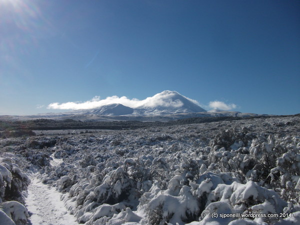
Mt Ngauruhoe, as with the two other summits, should be respected for its cultural significance. Some days it looks like an ant’s nest with unprepared visitors swarming over the north face. Just because they aren’t man-made structures (like pick a famous church) goes not mean they are worthy of any less respect.

People will still climb them – that genie is long out of the bottle – and the challenge now is to shape their behaviour towards one of greater respect. Being safe is part of that respectful behaviour: there is a risk in placing rangers to discourage visitors from the most popular route up the north face. This is an action that DOC specifically stated it would not take at the public meeting on this issue in Whakapapa two weeks ago.

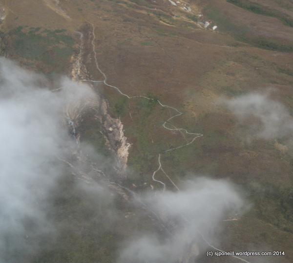
That risk is that, by discouraging people from the most popular and safest route up the lave ridge on the north face, DOC will be encouraging them to select other routes. These other routes won’t be, for the average visitor, as safe as the north face route. In addition, the concentration of most climbers on the north face means that the very clear start point for search and rescue operations on Mt Ngauruhoe may no longer exist and that visitors in distress may be on any one of a number of less safe alternative routes.

Concentrating visitors on to one route or area also minimise the visitor impact on other areas of each mountain. That impact is not just the literal impact of pairs of feet, but of human waste (ewwww), rubbish, lost gear, and walking poles (each pole is like another foot striking the delicate volcanic surface).

The situation is aggravated by publications like Wilderness Magazine advocating alternative routes without differentiating them by risk or difficulty level, or information centres, with the best of intentions but perhaps not the best knowledge, recommending routes based on what’s looks OK on a map, or second-hand invalidated information from other visitors.

In a perfect work, we could all sit back and enjoy Tongariro and Ngauruhoe from afar, respecting their significance to local communities. But we’ve over-hyped and -marketed the Tongariro Alpine Crossing for decades – and all involved need to share responsibility for this. We need to look to the future though – leave the past behind – and consider how we ALL can best play our “…guardian role in protecting not only Tongariro and his peaks, but also the safety and wellbeing of visitors to the region…?

This will only work if we do this together…

…to sow the seed of visitor expectation as soon as there is the faintest glow in the light bulb of “Let’s go Tongariro

…to must be consistent on our messaging and at time put aside, direct personal benefit…

…to make visitors feel welcome and safe…and informed…

SCF9964

#westisbest

Alpine guide frustrated at casual attitudes – Tongariro Alpine Crossing

Truly awesome to see that the national media have picked up this story…the full text of Andrea’s story can be seen here with the current safety messages for the Tongariro Alpine Crossing in winter here

We need to see more of the guiding community telling their stories and sharing their experiences on the Alpine Crossing as part of educating visitors to the Tongariro district.

Year-round this is a beautiful place, one of the only areas in New Zealand that you can explore an active volcanic, but it is always a place to be respected. Respected for its cultural heritage and because it is unforgiving towards to the unprepared, ill-informed and complacent…

One of the best sources of current information on the Crossing is the Tongariro Alpine Crossing app that was released this year…available in the Google Playstore and iTunes…is your life, and the lives of your family and friends worth a small fee…? We would hope so…

15871674_564913907048354_5369840645284961921_n.jpg

Get the app…

This pic is, of course of the Crossing in summer. In winter, this is what you will encounter:adrift fb winter 4.jpg

Know Before You Go

If You Don’t Know, Don’t Go

or

Go With A Guide

Know Before you go; if you don’t know, don’t go…

‘Tis the season…for inexperienced (in New Zealand conditions) and poorly-prepared trampers to ‘walk’ the Tongariro Alpine Crossing…and every year Police and volunteer rescue teams put themselves at risk to rescue these wallies

Last week, this brochure was released to get the message to national and international visitors to Tongariro National Park. That message is really quite simple:

Know before you go:

Know the weather AND ground conditions

Know what to do in alpine conditions

Know what to do in avalanche terrain

Know what to do when the plan goes wrong

If you don’t know: don’t go – or go with a guide…


Tongariro Alpine Crossing_winter 1Tongariro Alpine Crossing winter 2

A lot of the information online and offered by staff in the hospitality line is well-intentioned but ill-informed. Many people, especially those off the mountain or not ‘mountain’ people, do not understand the hazards of the Crossing in winter, or during bad weather. Many think it is just a case of ‘giving it a go‘, of ‘going harder‘, or just ‘will-powering’ themselves over the snow and ice. Others think that it is more important to promote ‘tourism’ at all costs…

“…the trampers were lucky to escape with their lives…”

“…not sticking together caused the group to inadvertently separate…”

“…All their clothing was wet…they didn’t have it in waterproof packing…”

“…they didn’t call for help until it was very dark and one tramper was unable to walk…”

We don’t say these things, we don’t make the Crossing sound dangerous to scare visitors off, to try to keep the place for ourselves, to discourage commercial operations in the Park.

We say this because we want visitors to come here, enjoy themselves and leave safely.

We say this because we don’t want our people putting their lives on the line for rescues that are unnecessary; being dragged from their beds or jobs at all hours because of good intentions and poor information…

Don’t become a statistic

Know before you go

If you don’t know, don’t go

…or go with a guide…


Wear sunscreen…


…and other handy things to know…

Yes, winter has finally hit the Central Plateau…and with it, the usual outbreak of idiots…

Handy tip #1. Snow is wet, hard and cold. Just because it is sunny, does not mean it is warm. Dress appropriately and, yes, that does include wearing sunscreen…

Handy tip #2. Your big 4WD does not make you immune from the laws of physics, or the road.

Sub-tip 1 to #2: when you crest a hill on the ice-covered road and you see the flashers on the Highway Patrol car at a breakdown, don’t hit your brakes. Score SH47 3, 4WD idiots 0.

Sub-tip 2 to #2: Chains are not equal to 4WD, nor do they make you a world-class rally driver. If you are not used to driving on ice, get the bus. If you miss the bus, get out of bed earlier.

Sub-tip 3 to #2: The absence of signs saying ‘slow down’ does not equal a defence when you are in the ditch. Use of the defence may justifiably be taken as provocation by the guy you hit on your way into the ditch.

Handy tip #3. Your quad headlights that can blind a possum at five kilometres will not melt ice on the road. Bridges and shaded corners may be treacherously slippery all day – drive appropriately.

DSCF8578


DSCF8580 DSCF8579 Cautionary tales and idiots aside, heavy snow fall often sucks all the moisture out of the air and makes for beautiful days…The lower level tracks in the Park are all accessible and walkable but the higher levels of the Tongariro Alpine Crossing remain restricted to those with equipment AND experience above the snow line – those without should seriously consider signing up with one of the guided tours because a. it is safer, b. the Crossing in winter is a totally different experience to the Crossing in summer, and c. it is an experience not to be missed.DSCF8583DSCF8584DSCF8585 DSCF8586

Chilly…

…and I don’t mean the magic spice that overcomes all food preparation shortcomings…

DSCF8402

I was driving back from town yesterday and could not help but notice that both Ngauruhoe and Tongariro had had some decent dumps of snow over the last two days…couldn’t tell you about Ruapehu because that is under that big mass of cloud where the fence line meets the skyline…DSCF8391

Compare Ngauruhoe with the shot I took of it at sunset a couple of posts ago...

The temperature dumped as soon as the sun disappeared…it was a beautifully clear and starry night…so still and so bloody cold…down to 0 at midnight and -2 at first light with a good frost…

DSCF8399

The sun is dealing to the frost already and it will be a ripper day til the sun goes down…I think we will get snow here as soon as we have a cloudy night…it’s been trying the last couple of days…

It’s safe to say that winter is here so if you are visiting up this way, think about putting some warm clothes, maybe even a sleeping back in the car, with some sensible footwear, gloves and a warm hat…just on case…it’s this time of year when drivers are still in summer daze and don’t think of shady corners and the risks therein. No matter how good a driver you may be, it might be the other guy that makes the mistake that gets YOU…take care out there…

Tongariro by air


One of the really great things about working for DOC on Mount Ruapehu is that opportunities arise to participate in some of the activities available around the Park. Last month, my planned trip to the rim of the crater lake on Mt Ruapehu was foiled by poor weather so when Mountain Air called to say they had a spare seat if anyone was interested, I was on the road immediately…DSCF7897

Even by midday this bank of cloud was still sitting just short of the base of the Mountain and more importantly for the day’s unplanned activity, just short of the end of the Chateau Airport runway.
DSCF7899Our destination…DSCF7900

Our chariot…

DSCF7903 The Mangatepopo car park in the lower right, the start of the Tongariro Alpine Crossing…DSCF7909

The other side of the Alpine Crossing on the long descent from the Blue Lake to the Ketetahi Carpark which is the finish point of the Crossing…DSCF7907

A small patch of cloud mingling with steam from one of the volcanic vents on the north side of Mt Tongariro…DSCF7911

A closer look down on those steam vents…

DSCF7917

Looking west over the Blue Lake which is a bout the halfway point on the Crossing walk…DSCF7932

The Blue Lake with the Emerald Lakes on the lower left and the majestic bulk of Mt Tongariro in the background…DSCF7926

Looking closer at the Emerald Lakes with the Crossing track running from top right to lower left…DSCF7928Looking over the Emerald lakes and Red Crater towards Mt Ngauruhoe (aka Mt Doom in the Lord of the Rings trilogy). Just to the right of Red Crater, you can just make out the Crossing track: Red Crater marks the highest point on the Crossing at around 1780 metres, a good half kilometre above the 1200 metre start point at Mangetepopo…

DSCF7934

Mt Ngauruhoe …you can’t see them but on a good day like this, there were dozens of ambitious visitors clambering their way to the summit – they said that they waved but I didn’t see them. The journey to the summit of Mt Ngauruhoe is probably the most challenging of the three peaks in summer as the slopes are very steep (a constant 30 degrees), covered in loose material so that you may spend as much time sliding back as you do pushing forward, and there is always a risk of getting clocked by a rock or stone dislodged by climbers ahead of you….DSCF7968

Between Mts Ngauruhoe and Ruapehu lies Whakapapa Village, home of the Chateau Tongariro the main DOC base for administering the Park. The light coloured roofs on this side of the Village are the Skotel accommodation complex, and the tracks to the north of it run to Tama Lakes and Taranaki Falls…DSCF7993

Last but not least the splendour of Mt Ruapehu, with a glimpse of the Crater Lake. In a few months this will be covered in metres of snow but at the moment it is still relatively easy to trek up to the crater rim as a day trip form the Village.

Just after taking this picture, i switch my camera to video mode and recorded the remainder of the flight back around all three mountains and back to the airfield. I meant to convert it to MP$ and upload it to Youtube before I came away this week but I am afraid that you will have to wait until the weekend for me to get that down…

I’d really like to thank the lads at Mountain Air for taking me up. I’ve been in and out of aircraft of all sizes over the last three decades and i would have to say that their presentation and performance was as good as any other top-line aviation activity that I have been involved with. If you visit us on a nice day (and most of them are), Mountain Air offers a great way to see the Park and its attractions in a way that  a ground based perspective simply cannot match…