Weekly Photo Challenge: Beyond | The Daily Post
In this challenge I have looked for photos where the subject has been in the foreground but which (probably more by accident than design in my case), the background draws you in other directions…beyond…
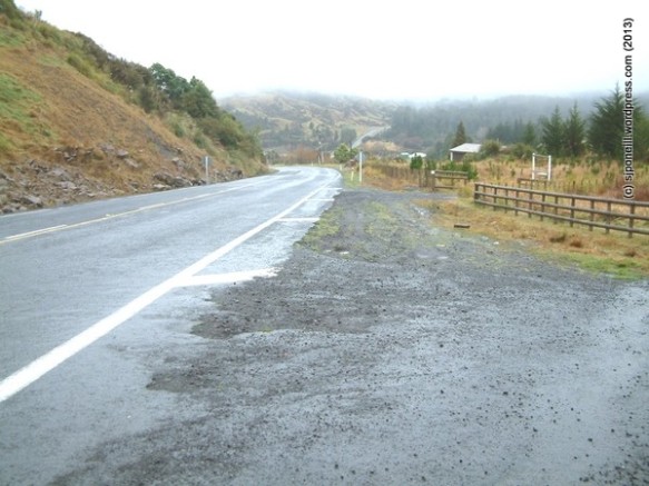
The purpose of this photo was to have the national roading agency on about the recurring pot holes at the top of our driveway where it meets the state highway…in the distance though, you can see the road reappear as it rises north out of Raurimu, on its way to Owhango and beyond…
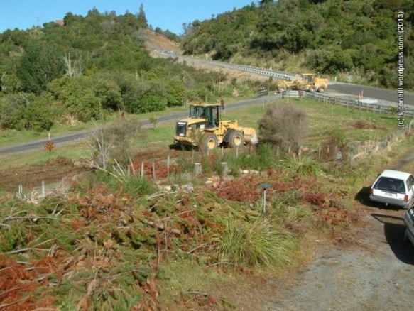
Here’s our gate again, this time looking back the other way – as you can see, about the six months later, the potholes are getting sorted – with the ‘new road (it used to follow the hill round to the left) disappearing into the deviation towards National Park and beyond…the digger on the lawn was trying to (for 2 dozen Tui – beer not bird – and a banana cake) to even out some of the bumps in the lawn but it was too heavy and just left big trenches I had to fill…
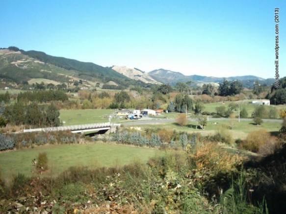
This is Follyfoot Farm (no, not the farm of teen screams in the 70s!) at the northern end of the Mangaroa Valley, which parallels the Hutt Valley in Wellington. Although the farm is the focus of the picture, the range of hills on the skyline draw the eye and the imagination towards the south and the point where these hills meet Cook Strait…
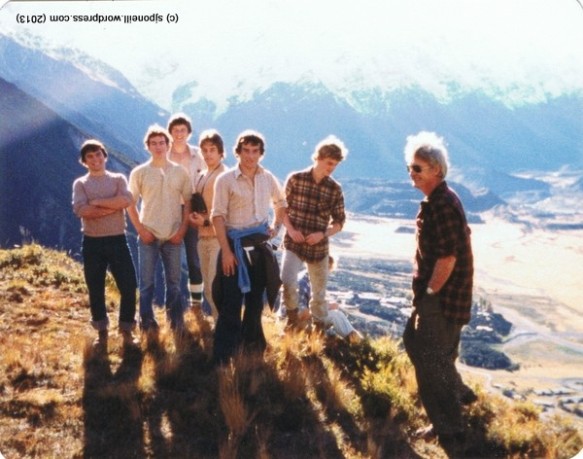
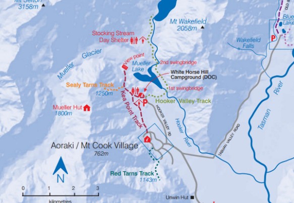
This was taken on a 7th form study trip in 1981 up to Mt Cook – that’s Mt Cook Village below and, beyond, the mountains rise to peak at Mt Cook. The picture was taken about where the Mt Cook Village inset box intercepts the track in the map below. Unwin Hut at the bottom of the map is where we stayed for the week…if you’d like to know more about Mt Cook Village walks, click the map…